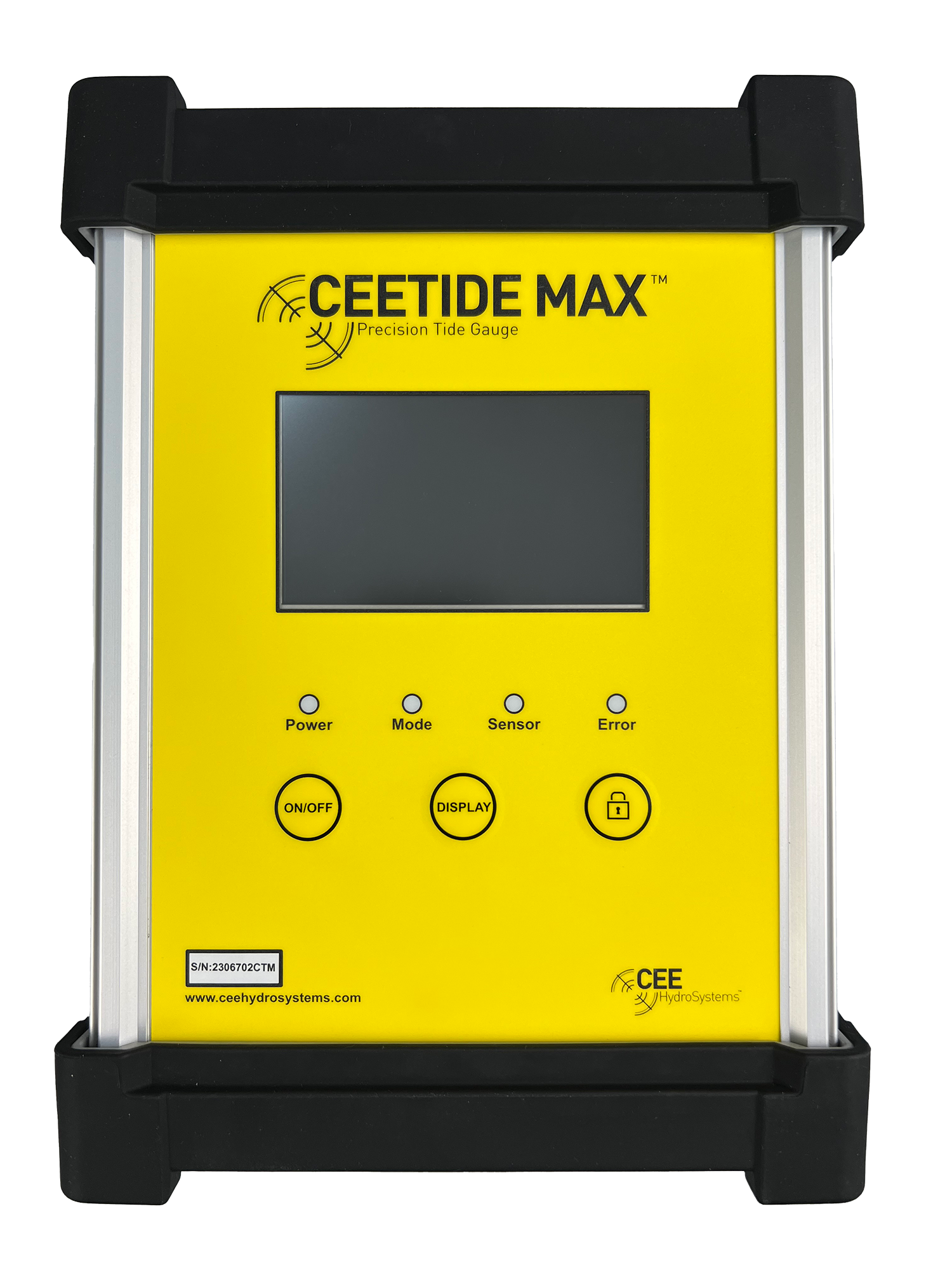
HYDROGRAPHIC SURVEY TIDE GAUGE
Radar tide gauge recorder
Measuring Tides for Hydrographic Surveying
Tide gauges provide a critical piece of information for any marine hydrographic survey – periodic tidal elevation data. While a hydrographic survey boat is collecting soundings nearby, the tide gauge continuously records the water level against a pre-defined datum to allow the gradual rise and fall of the sea surface to be incorporated into the bathymetry data. A sea surface height is recorded at a designated interval (eg. several times per minute to once every 30 mins) and the data are stored on the tide gauge or on a connected acquisition computer. Occasionally, real time tide measurements may be relayed to the survey vessel. In this case, a radio modem is required on the tide gauge installation and survey boat to transmit the measurements. On board the survey vessel, the hydrographic acquisition software package or the echo sounder is configured to accept tidal elevation data in real time. More commonly, the tidal elevation data are recorded locally and the tide data file is downloaded after the survey is completed – or periodically during the survey – with tide corrections performed in post processing. With such a critical role to play in the survey data collection, tide gauge reliability and accuracy is crucial.
Of course, tide gauges are not just used for surveying. Continuous tide measurements are recorded at stations around the world wherever there is marine activity, for port and harbor operations, marine navigation, and dredging. Any application that requires a highly accurate and continuous measurement of water height can be addressed with a tide gauge.
As RTK GPS / GNSS becomes more popular in hydrographic surveying, elevation of the water surface during the survey may be measured in real time using the precise elevation data afforded by Real Time Kinematic satellite positioning instead of a traditional tide gauge. The RTK tide technique, requires the survey boat not to travel more than tens of kilometers from the base station position, so it is largely limited to the inshore and coastal marine environment.
There are several forms of tide gauge sensor used to measure the water height including submerged pressure sensors, stilling well floats, submerged gas bubblers, or radar distance measurement devices.